Good trails are closer than you think. Here are seven reliable ways to find them, using the same tools the land managers use and a little local knowledge.
Most of us hike the same three trails near home until someone drags us somewhere new. The good news is that federal agencies, state parks and local groups publish far more trail information than any single app shows. Here are seven ways to find a fresh route for your next day off.
Start With the Land Managers’ Own Trail Finders
The two biggest trail owners in the country make this easy. The National Park Service says its parks hold more than 21,000 combined miles of trails, from rugged slopes to flat boardwalks. The Forest Service looks after a network of more than 165,000 miles of trails that stretches across nearly every state.
For parks, use the NPS App, which covers more than 400 national parks. Hiking information usually sits under the “Things To Do” menu, and you can download park information for offline use if you will be out of cell range. For national forests, try the Forest Service Interactive Visitor Map. You choose the type of recreation you want, and the map filters roads, trails, recreation sites, wilderness areas and wild and scenic rivers based on that choice.
Use State Park and County Trail Websites
Not every good trail is federal. State parks, county parks and regional trail networks maintain their own websites, and those pages often list trail lengths, difficulty notes and parking details you will not find anywhere else. Rules vary by state, so check with your state agency for hours, fees and dog policies. Many counties also publish printed or downloadable trail guides through their parks departments, and those are worth grabbing even if you never open them until a rainy Tuesday.
Search Recreation.gov for Trailhead Facilities
Recreation.gov is best known for campsite bookings, but it covers more than 3,600 facilities and 103,000 individual sites across the country, including day use areas, trailheads and permit systems. Searching your zip code can surface federal sites within driving distance that never appear in a generic web search.
Some sites charge entrance or amenity fees, and interagency passes cover admission or amenity fees at more than 2,000 federal recreation locations. Our guide to park passes and camping fees explains what the America the Beautiful Pass covers. The site also handles backcountry and wilderness permits, which our article on how campsite reservations work on Recreation.gov walks through step by step.
Ask a Ranger Station or Visitor Center
A short conversation at the desk will get you better trail ideas than an hour of scrolling. Staff know which routes are washed out, which parking lots fill by 9 a.m. and which trail fits the kind of day you want. Before you rely on any suggestion, the Forest Service advises visitors to confirm their destination is open and to look up fire restrictions and the weather forecast, along with whether reservations or permits are required. The ranger station can answer all of that in one visit.
Camp tip
Call the ranger station for the district that actually manages the trail, not just the closest town. Forests are divided into districts, and the local office will have the most current conditions.
Check Local Hiking Clubs and Group Outings
Local groups know the small, close-in trails that never make the top-ten lists. Hiking clubs, trail running groups and online meetup chapters share trip reports, seasonal notes and carpool plans, and many welcome beginners. There is a second benefit: these groups often supply the volunteers who help maintain trails alongside agency staff. Showing up for a trail work day is one of the fastest ways to learn about routes most visitors never hear about, and the Forest Service runs training programs for volunteers, including its certified sawyer program for trail work.
Read Topo Maps for Loops and Connections
Sometimes the best discovery is not a named trail but a link between two you already know. The Forest Service sells National Forest Atlases, printed collections of topographic quadrangle maps scaled at 1 inch to 1 mile, which make it easy to spot where trails meet roads or each other and where a loop might come together. Wilderness maps offer more detail than visitor maps for non-motorized travel. The Forest Service also offers free downloadable maps at a variety of scales as a no-cost starting point.
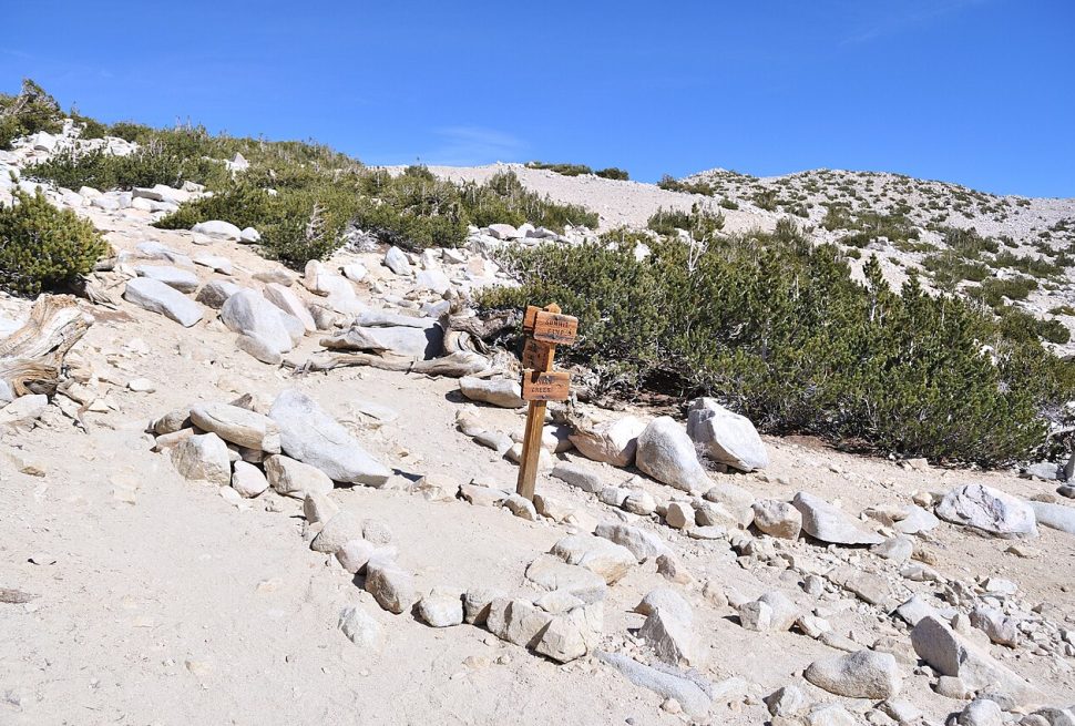
One caution: when you plan a route that mixes roads and trails, check the local forest’s motor vehicle use map, which spells out exactly which routes and areas allow motorized travel. On the trail itself, official Forest System trails carry a posted number and name at the trailhead, so if you never see a marker, you may be following an unofficial path.
Vet Any Trail for Closures and Conditions Before You Go
Whatever source you use, confirm the trail is open before you drive. The National Forests and Grasslands app pushes safety alerts, including fire information and National Weather Service alerts, and lets you toggle those map layers on for a fuller picture. It also shows trail and site conditions, including amenities like restrooms and whether a trail is dog-friendly. Closures can follow storms, fire activity or maintenance, and the app is updated as conditions change.
Make this part of the routine: check the map, check the alerts, then check with the ranger station if anything looks unclear. Five minutes of checking saves a two-hour drive to a locked trailhead.
- Camping With Your Dog on Public Lands: Where dogs can go and the leash rules that apply on different federal lands.
- Making Stream and Lake Water Safe to Drink at Camp: Useful once your trail scouting turns into a longer day than planned.
- First-Come, First-Served Campsites: How they work and when to arrive, if your new trail turns into an overnight trip.
Camp notes
- National parks contain more than 21,000 miles of trails, and the Forest Service manages over 165,000 miles across nearly every state.
- The NPS App, the National Forests and Grasslands app and the Forest Service Interactive Visitor Map are free official tools for finding and checking trails.
- Recreation.gov lists more than 3,600 federal facilities, including day use areas and trailhead parking that never show up in generic searches.
- Ranger stations and visitor centers can confirm closures, fire restrictions and whether a permit or reservation is required before you drive out.
- Always check current conditions before you go, since trails close for storms, fire and maintenance with little notice.
Questions campers ask
Are the official trail-finding apps free to use?
Yes. The NPS App and the National Forests and Grasslands app are both free to download on iOS and Android devices. The Forest Service also offers free downloadable maps at a variety of scales on its website.
How do I know if a trail is official or user-made?
The Forest Service says official National Forest System trails carry a trail number and name posted at the trailhead. If the path you are on has no marker, it may not be maintained, so check the forest’s maps before you go.
Do I need a pass to park at a trailhead?
It depends on the agency and the site. Many federal recreation sites charge entrance or amenity fees, and interagency passes cover admission or amenity fees at more than 2,000 federal recreation locations. Check the facility page or the ranger station for the specific site.
Can I bring my dog on the trail?
Rules vary by agency and even by trail, so check before you go. The Forest Service’s app lets you filter trails by dog-friendly amenities, and we cover the broader leash rules in our guide to camping and hiking with dogs.
Rules, fire restrictions and closures differ by park, forest and district and can change quickly. Check with the land manager before your trip. This guide is general information, not professional safety advice.